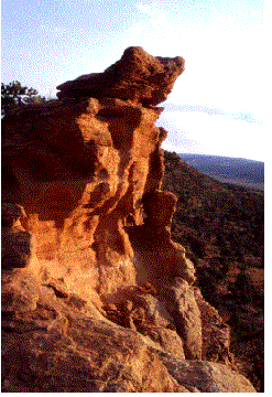
Arizona Wilderness Coalition logo  


RESOURCES

Arizona Strip Wilderness Proposal

Vermilion Cliffs. Photo by Kim Crumbo.This proposal results from the first comprehensive citizen's wilderness proposal for the Arizona Strip and provides thorough documentation of requisite wilderness characteristics for 23 units within the Grand Canyon-Parashant National Monument; seven within the Vermilion Cliffs National Monument; and one outside the monuments but adjacent to an existing wilderness. Total acreage in this proposal recommends 775,000 acres for wilderness designation.

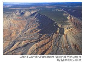
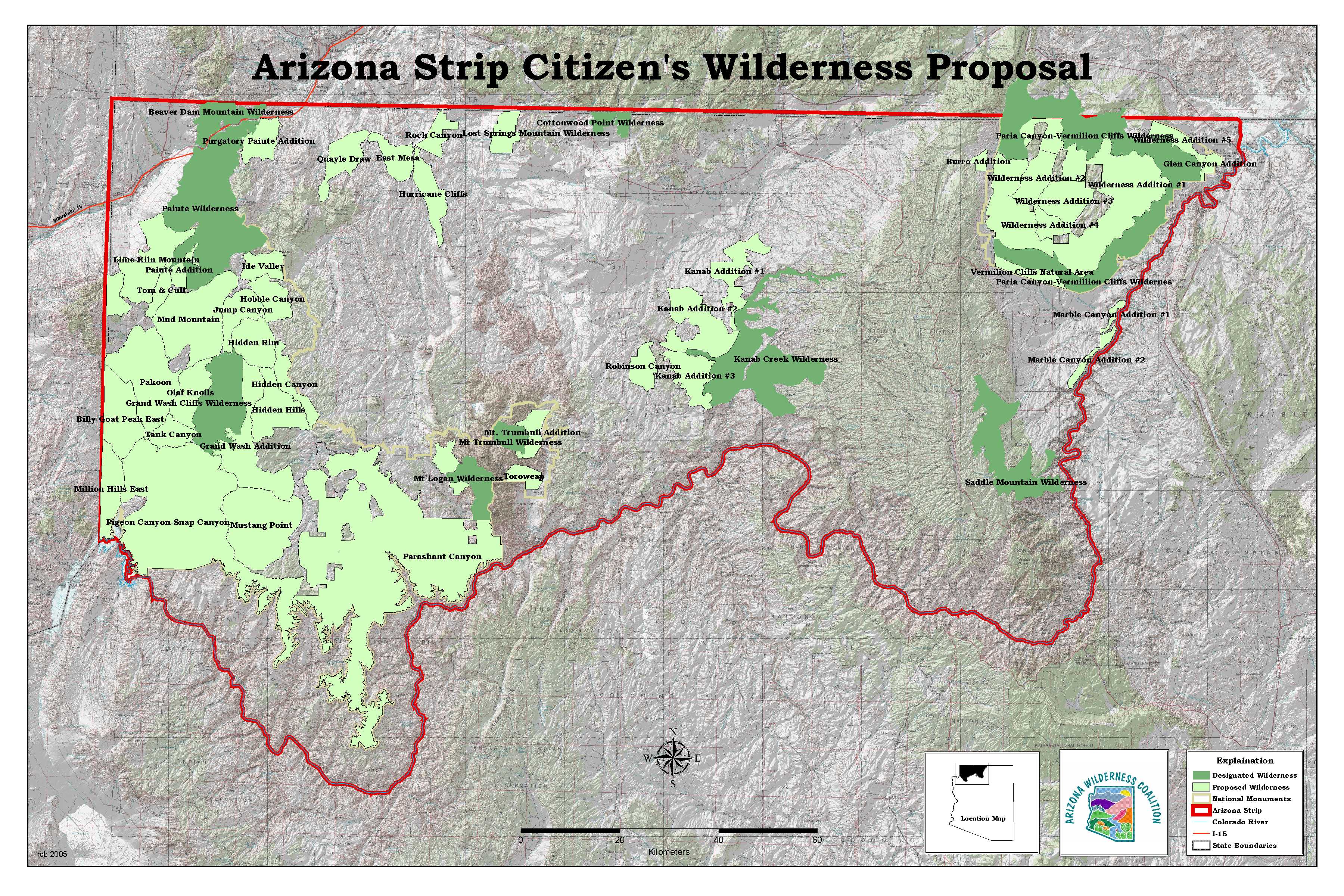
The AWC is also preparing subsequent wilderness proposals outside the monuments for the Hurricane Cliff, Kanab Creek Wilderness addition (Robinson-Water Canyons, Grama Canyon), Castle Peak (GCPNM), Rock Canyon (Buck Pasture Quad), Lost Springs Mountain, and Seegmiller-Rock Canyon in the western House Rock region.

Wilderness Protection

We believe our wilderness recommendations are well justified within the scope of BLM’s continuing obligation to inventory and study lands exhibiting wilderness characteristics. We further believe that our wilderness recommendations are very reasonable, particularly in the context of the wilderness residual transportation network. The wilderness proposal retains approximately 880 miles of road access around the Grand Canyon-Parashant National Monument, and approximately 120 miles around Vermilion Cliffs National Monument.

For a detailed map showing the Citizen's Wilderness Alternative that the Arizona Wilderness Coalition submitted to the Bureau of Land Management, click here.

Access Issues

These recommendations should have minimal affect on mechanized users that are currently and legally accessing the national monuments:

  • The roads adjacent to the proposed wilderness boundaries and our recommended non-wilderness cherry stems meet the legal BLM definition for roads.
  • The wilderness recommendation closes only two numbered BLM routes within the two national monuments and does not close any county roads.
  • The wilderness residual transportation network provides for a very high level of legal motorized access within the National monuments. Sixty percent of the GCPNM is within one mile of a road. Eighty-eight percent of the GCPNM is within 2 miles of a road.
  • The wilderness residual transportation network provides about 0.5 miles of legal road per section (sq. mi.), which is compatible with the preservation mandate for many of the proclaimed objects of the monuments.
  • The conservationists’ wilderness recommendation respects the permitted ranchers’ access needs based on provisions within the Wilderness Act of 1964 and adherence to minimum requirement analysis.

Agency Responsibility

While the wilderness residual transportation network supports our wilderness recommendations, the BLM still has a responsibility to conduct a comprehensive analysis that will provide a transportation network compatible with the purpose of preserving the proclaimed objects of the national monuments.

Grand Canyon-Parashant. Photo by Michael Collier.

-Arizona Wilderness Coalition mission statement